Catch the King Background

History
Work in progress!
Home › What We Do › Catch the King › Background
Data Collection
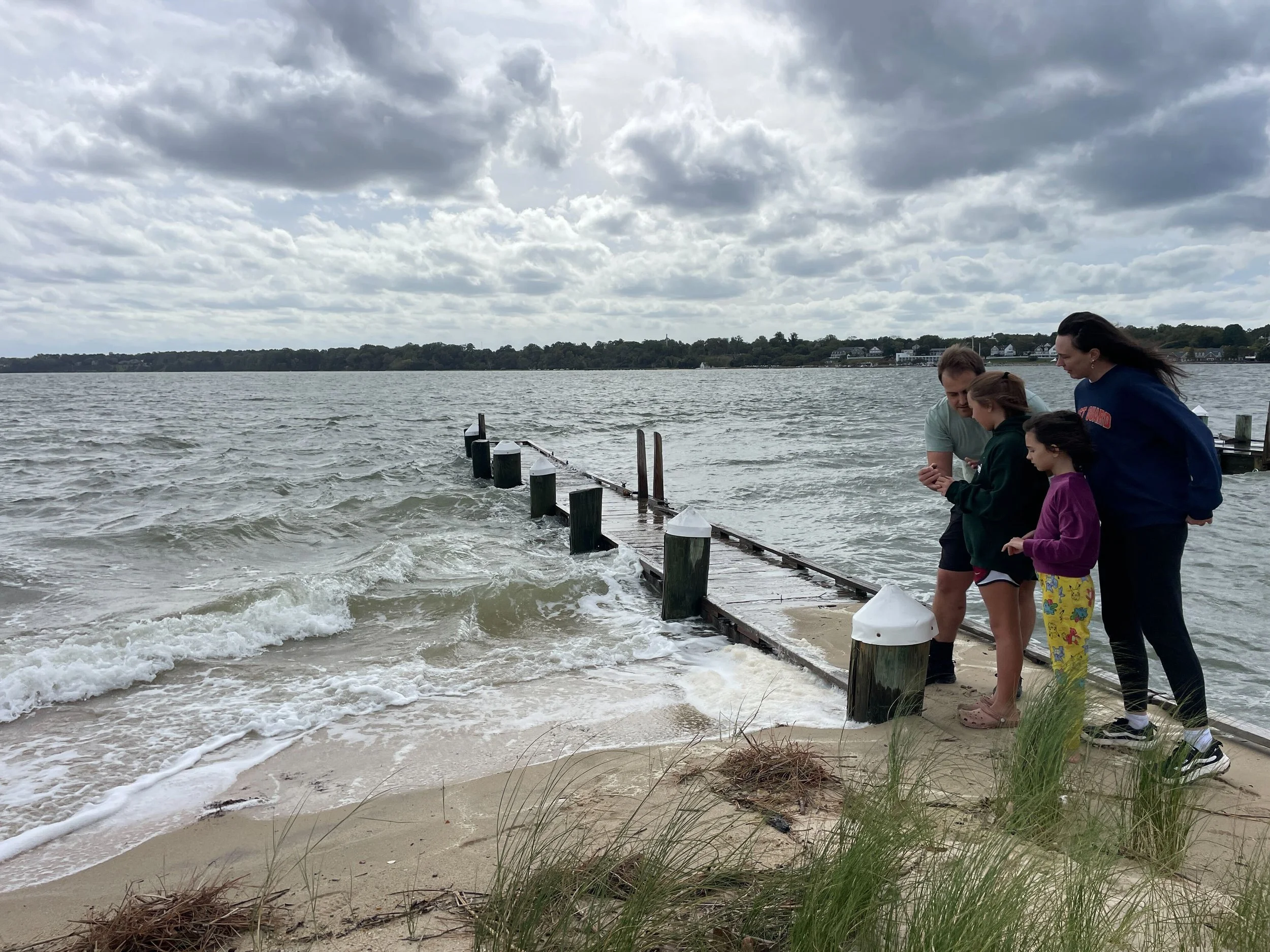
Participants in the event use a mobile app that collects location-based data points along the water's edge at peak high tide. This crowdsourced data collection effort contributes to high-resolution mapping of tidal inundation areas, providing valuable empirical data for hydrodynamic modeling and flood forecasting.
"Catch the King" contributes to enhancing the accuracy of predictive models for coastal flooding, specially those developed by Dr. Derek Loftis at the Virginia Institute of Marine Science. By incorporating the data collected by volunteers, researchers can improve the calibration and validation of models that simulate tidal dynamics and sea-level rise impacts. This approach addresses limitations in traditional data collection methods, which often lack the resolution needed for localized flood prediction and risk assessment.
Guinness World Record
On November 5, 2017, Catch the King, along with our dedicated partners and volunteers, was awarded the Guinness World Record for the Most Contributions to an Environmental Survey. As of 2026, we still hold this record. Read more details on Dr. Derek Loftis’s webpage.
We are grateful to everyone who made this possible. Open Health Innovations, under the leadership of Dave Richards, was instrumental in developing and maintaining the mapping app, ensuring the technology remained accessible and effective for all participants. Dave Mayfield, then a reporter with The Virginian-Pilot, envisioned the "Catch the King" initiative, and galvanized the community-wide effort. Dr. Derek Loftis from the Virginia Institute of Marine Science provided the scientific backbone of the project by utilizing the crowdsourced data to refine predictive flooding models, enhancing our ability to anticipate and respond to coastal flooding events. Meanwhile, Karen Jacklich, our dedicated organizer, orchestrated the efforts of hundreds of mappers; her leadership was crucial in coordinating volunteers and ensuring the seamless execution of the event.
This achievement exemplifies how collective action can address the pressing environmental issues facing our coastal regions, and we are immensely proud to have been part of this collaborative milestone. Looking forward, our goal is to expand this initiative by engaging more citizens in Virginia and sharing our technology and experiences with other coastal communities to foster a broader movement toward proactive environmental stewardship.
Join us as we continue to map, monitor, and make a difference—together, we can turn the tide on coastal flooding!
Community Engagement
The Catch the King event exemplifies the integration of community engagement and scientific research, within the framework of participatory science. It serves not only as a data-gathering exercise, but also as an educational platform that raises public awareness about the impacts of climate change, sea-level rise, and coastal resilience. Engaging citizens directly in the scientific process fosters a sense of stewardship and empowers communities to contribute to environmental monitoring and policy development.
Stay Informed about the Guinness World Record-Holding Event!