Catch the King:
Comments
Catch the King

Eric note: a CTK banner would work well here. Recommend reducing inessential items (the website address can disappear, as folks are already here), ensuring that every item is earning its keep, and revisit the tagline, ensuring that it’s the best we can do. After devoting some brain-time to it, we can keep it for a while (so we don’t have to redo the graphics every year), or decide to change the tagline every year as a way to keep it fresh.
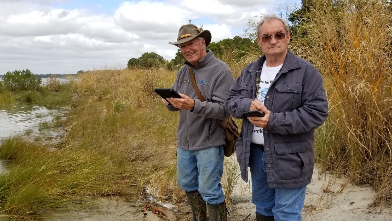
Thanks to the efforts of 187 volunteers, Catch the King 2024 was a huge success! Community flood mappers from across coastal Virginia collected over 22,000 data points delineating the impacts of king tide flooding from October 17th-20th. Check out this composite data map from VIMS showcasing all of our data since 2017 or click the map below to explore 2024’s results!
I suggest tweaking the messaging a little bit on this top page to attune it to the present year (2025)—relay this information as a challenge for this year (we accomplished this last year, and with your help, we think that we can expand x and y significantly this year). Then, we link to a page that has a formal breakdown of all of 2024’s results. Elsewhere (maybe attached to our FAQ), we can provide links to the results of all of our years.

Catch the King is an annual tide mapping event that recruits volunteers to collect flooding data during the Perigean tides—the highest tides of the year. Whether you’re a returning mapper or looking to get involved in a Guinness world record holding, crowdsourced flood data collection event for the first time, you’ve found the right place! Check out the resources below to get ready for Catch the King 2025.
This functions well as an introductory welcome—general information, a little wonky with a single link out, but streamlined. I eliminated a link and some language.
And finally, check out this quick video of what it’s like to participate in Catch the King:
At some point, we might want to consider a quick reedit to place some front matter at the head of this video so that these folks aren’t seen to be representative of our volunteers. A simple Wetlands Watch header would work fine. The video is great, and they are great in it, but we want to be sure that folks who breeze past don’t draw conclusions about the kind of folks who might participate in CTK (especially given the hero image at the top of the page, ahem).


These three graphics go well together, but we should use them only when we are in the download section of our process.
Love the look of the flooding calendar—it’s kind of epic, and generally fascinating. I think that it’s one of our strongest graphics. We should give this pride of place and blow it up to max so that folks can appreciate it.

How do I get ready to Catch the King 2025?
Review the volunteer info sheet to learn more about participating in CTK.
Register for this year’s Catch the King event (coming soon).
Download the Sea Level Rise app using the Apple Store/ Google Play buttons to the right.
Follow the tutorial guides (photo|written) to sign up for official CTK regions & events.
You can also watch the recording of our event info webinar (held Oct 10th, 2023) here, and view the presentations slides (with lots of great links and resources) here.
Review the step-by-step information on our App FAQs page to find instructions on where and when to map in your region and more helpful resources and tutorial guides!
Sign up for the CTK newsletter for event updates and training opportunities and join our Facebook group, Help Catch the King Tide!
Interested in being a Tide Captain? Check out our info sheet on being a tide captain and let us know you’re ready to lead a team by sending us an email.
Looking for information on the HRPDC Adopt-a-Sensor program? Visit our App FAQs page and scroll to the Adopt-a-Sensor section towards the bottom for details.
CTK 2024 Results
The messaging focus here shouldn’t be the fantastic February event, but rather the next one. Now is the time to get everyone thinking about how much fun/ inspiring the next art event will be.

The Sea Level Rise app was developed in partnership with the Concursive Corporation, a Hampton Roads technology development company. Thank you!
Love the use of blue bold here. Let’s keep it throughout.
With respect to the list: streamline, giving them the information they need now in the order they need it. Minimize sending them elsewhere for different pieces of the puzzle (like the volunteer info sheet, or even FAQ pages, &c.). It just fractures the user experience. I’ll sketch out what I mean on the Google Doc.
I love the buttons below—they function as a kind of Squarespace 7.0 sidebar, and looks great.

A tale of two graphics! The one on the right is beautiful. Looking ahead to 2025, it might make sense to do a single graphic that has all of the relevant information, and displaying it prominently. The one on the left is dark and uninspiring; the one on the right has movement and style. My only criticism is that the NOTE is difficult to make out (a lot of text, and small font size). We might want to consider either minimizing the note, or displacing that text entirely for a text box outside the image.
2024 CTK Arts and Appreciation Event
In case you missed it, check out the recording below of our volunteer celebration and arts contest ceremony, held at the Brock Environmental Center on February 27th, 2025!
2025 Tidal Flooding Calendar
Catch the King: Background
Catch the King is an annual community science initiative that mobilizes volunteers to map the extent of tidal flooding during perigean spring tides, also known as "king tides." These tides represent the highest astronomical tides of the year, occurring when the gravitational forces of the Moon and the Sun align, and the Moon is at its closest approach to Earth (perigee).
Participants in the event use a mobile app that collects location-based data points along the water's edge at peak high tide.

This crowdsourced data collection effort contributes to high-resolution mapping of tidal inundation areas, providing valuable empirical data for hydrodynamic modeling and flood forecasting.
Data Collection
"Catch the King" contributes to enhancing the accuracy of predictive models for coastal flooding, specially those developed by Dr. Derek Loftis at the Virginia Institute of Marine Science. By incorporating the data collected by volunteers, researchers can improve the calibration and validation of models that simulate tidal dynamics and sea-level rise impacts. This approach addresses limitations in traditional data collection methods, which often lack the resolution needed for localized flood prediction and risk assessment.
Community Engagement
The Catch the King event exemplifies the integration of community engagement and scientific research, within the framework of

participatory science. It serves not only as a data-gathering exercise, but also as an educational platform that raises public awareness about the impacts of climate change, sea-level rise, and coastal resilience. Engaging citizens directly in the scientific process fosters a sense of stewardship and empowers communities to contribute to environmental monitoring and policy development.
Guinness World Record
Catch the King is the Guinness World Record holder for Most Contributions to an Environmental Survey.
Catch the King represents a multifaceted effort, with many important partners, that advances scientific understanding of coastal processes. This event promotes proactive community involvement in addressing environmental challenges associated with sea-level rise and recurrent flooding.