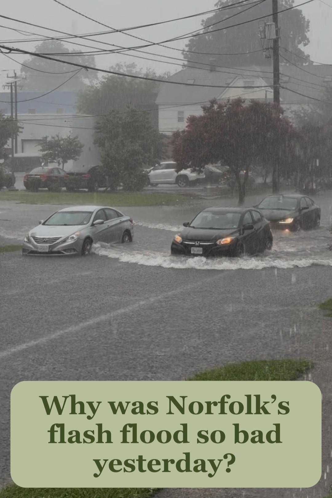
The August 4th storm brought 2.5 to 6 inches of rainfall over 2 hours across Norfolk, a statistic Mary-Carson Stiff in her social media video said had only a 1-2% chance of occurring each year. As rainfall intensity, duration, and frequency continues to increase from an already 20% jump over the past 20 years, Mary-Carson points towards Norfolk’s antiquated, undersized stormwater systems as a part of the problem. The standing water at road level in Norfolk storm drains as a result of the concurrent high tide worsened the flood event. Exacerbating the issue is Norfolk's highest rate of relative sea level rise on the East Coast, which keeps storm drains full year-round. Historic actions also play a part; the filling in of creek beds with dirt and sand to make room for streets and housing has resulted in increased street flooding. Water’s memory outlives human actions, leading to its return to creek beds previously filled, as relative sea level rise continues to increase.
This storm event was not an isolated event. Many rain events throughout the recent months have reflected this pattern of intense and widespread rainfall, calling for the need for residents to be informed. Wetlands Watch is advocating at the state level for state-wide adoption of higher stormwater standards that reflect these rainfall changes felt across the Commonwealth. Regardless of state actions, localities can take steps today to enforce stormwater standards that reflect current and future rainfall levels, which the City of Virginia Beach and Arlington County have successfully done. Through an informed community, Wetlands Watch hopes to bring residents and policymakers together to address this growing risk to keep people and properties safe from flooding.
