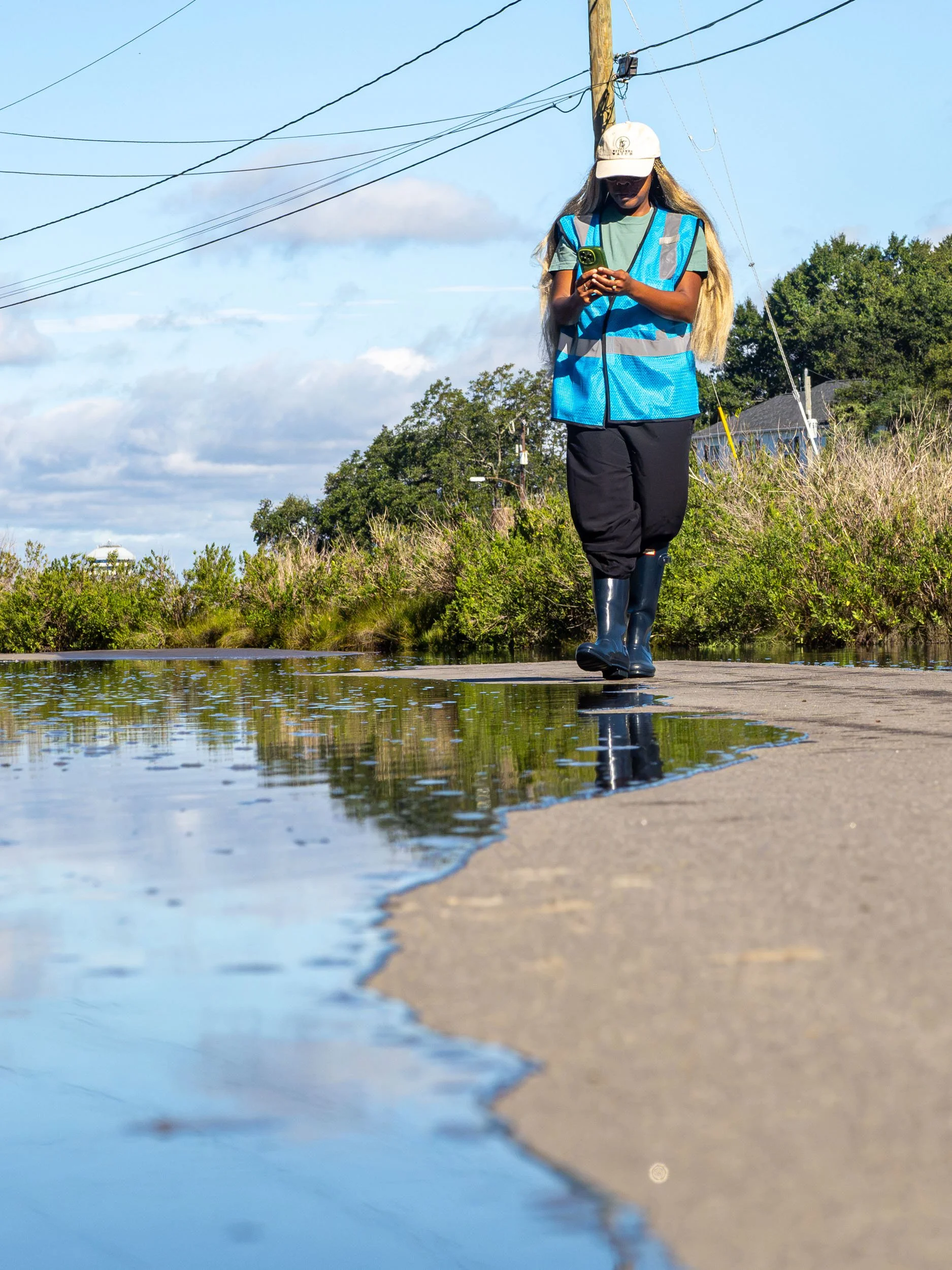
2026 Catch the King Teaser
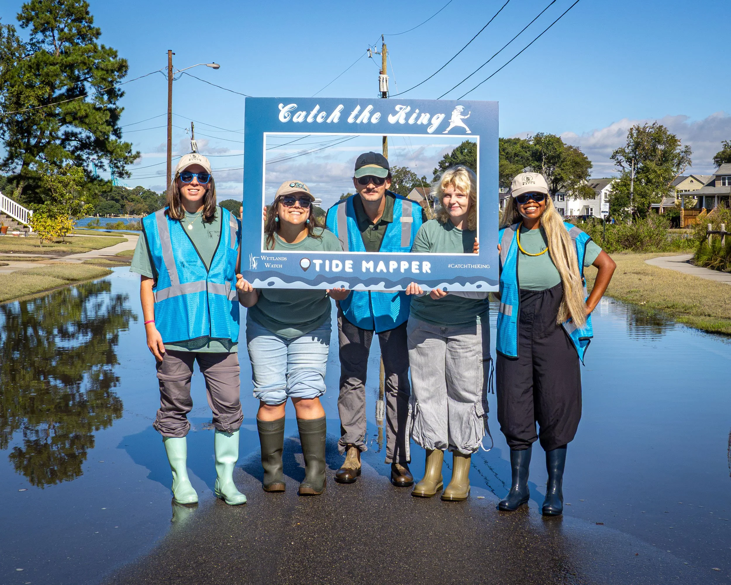
Wetlands Watch Staff Getting Ready to Catch the King Tide!
Addressing flooding takes collective action. That forms the basis for Catch the King (CTK) tide- an annual community science program that engages community volunteers across the Commonwealth to map the extent of flooding during king tides. These are high tides that occur when the new or full moon is closest to the Earth, causing high flood risk to low-lying coastal areas such as Norfolk. Using the Sea Level Rise app, volunteers can drop GPS points along the edge of floodwaters during this high tide event. These data points are used by researchers at the Virginia Institute of Marine Sciences (VIMS) to improve flood-prediction computer models by adding to sea level rise impact and dynamic tidal predictions. Volunteer GPS points marking the flood boundaries help to calibrate and validate these computer models used by local governments.
Now in its ninth year, CTK has plotted 250,000 high water markers, mapped 41% of Virginia’s tidal shoreline and set one Guinness World Record for most contributions to an environmental survey. However, 43 gap zones exist with 110 public access points remaining to be mapped. This is in addition to increasing amounts of shorelines emerging as sea levels continue to rise. With this extent of change, king tide data is not only necessary for tracking flood patterns, but for monitoring historical records of mean tides. CTKs success and continued momentum allows citizen engagement in the scientific process while raising awareness of the impacts of climate change.
Wetlands Watch Community Science & Outreach Staff Stephanie Letourneau has encouraged CTK participation alongside our partner program Measure the Muck measuring contaminants in tidal water led by Old Dominion University. CTK training has reached classrooms, organizations, and groups spanning all ages. This year, CTK has expanded to four mapping time frames, with the big event occurring October 9-11. A new flood layer will also be built to highlight historic flood changes over decades of data. New and old partnerships alike from Catholic High and St. Mary Star of the Sea to Girl Scouts, Master Naturalists and Virginia Living Museum will be mapping their communities together. A new partnership with SouthWings has brought 15+ pilots offering an aerial view of tidal flooding, helping capture the true extent of flooding.
While CTK 2026 has brought new partnerships and experiences, what has remained constant is our commitment to providing avenues for people to help build resilience in their own backyards. We want to give a hands-on perspective of the king tide season which is a preview of what daily high tides will look like in the future. Stephanie said it best, “Today’s King Tides are tomorrow's new normal.” The time is now to be a part of the solution.