Collaboratory Final Project Designs
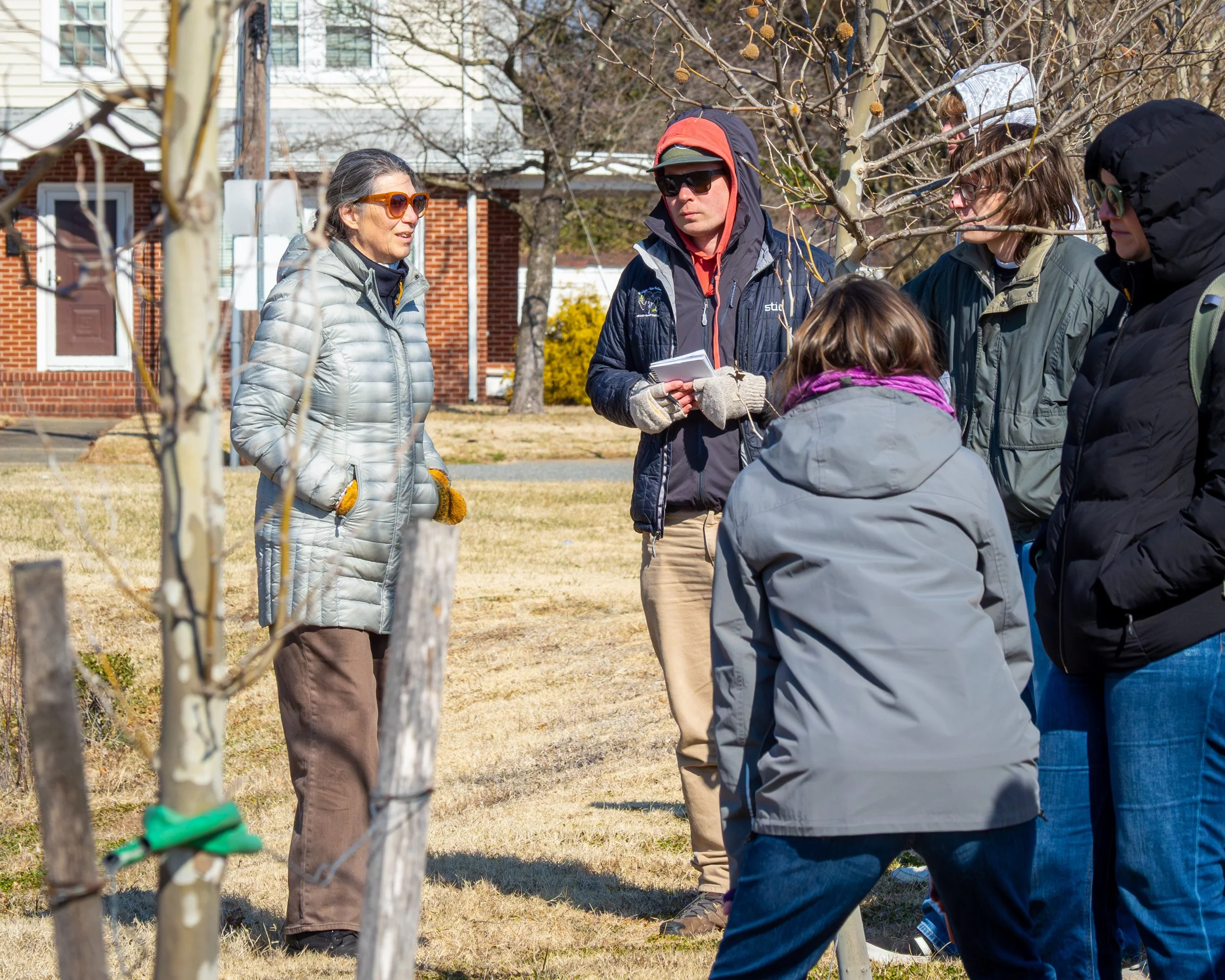
Wetlands Watch strives to work alongside Virginia neighborhoods to reduce flood risk and build a more resilient future - one that reflects each community’s history, culture, priorities, and vision for the future. Our Neighborhoods Initiative focuses on building climate resilience by fostering rich partnerships between community groups, technical advisors, and Virginia’s top academic institutions through our Collaboratory program launched in 2014. Neighborhood-scale Collaboratory projects prioritizes resilience designs for underserved and historically marginalized neighborhoods. This year, in Spring 2026, Wetlands Watch facilitated 4 Collaboratory projects. In our ninth year working together, we coordinated two Collaboratory project with Virginia Tech's Landscape Architecture Land Design and Planning Course (VTLAR) in its Land Design and Planning Course focused on designing for coastal resilience for an industrial site in Virginia Beach and a neighborhood resilience design project in the Paula Maria area of Hampton and Newport News. We coordinated 2 Geographic Information System (GIS) focused projects; one with the VT LAR Land Analysis and Site Planning GIS class and one with a student through the Institute for Integrative Conservation (ICC) at William and Mary for a Community Research program. These 2026 Collaboratory projects allowed students to develop early-career workforce skills, while supporting Wetlands Watch’s mission of building neighborhood climate resilience through academic and community partnerships that benefit all involved.
The 2026 VT LAR GIS Spring Collaboratory project with professor Vincenzo Cribari and undergraduate and graduate planning students was aligned with a new Hampton City Schools (HCS) Resilience partnership, a collaborative planning initiative between the City of Hampton Resilience Team and HCS. The goal of this Partnership initiative is to increase school resilience through the identification and development of 3 to 5 HCS sites as Community Resilience Hubs from 32 potential sites. The VT LAR students' GIS projects utilized watershed-based flood analysis, facility vulnerability assessments, and equity-based social vulnerability mapping to select the sites with the most resilient characteristics. The ongoing ICC Community Research Program at William & Mary, pairs an undergraduate student with Wetlands Watch to explore how GIS-based risk mapping can improve our ability to identify priority technical assistance areas where focused coastal resilience support has not occurred.
In the Land Design course, Professors Irene Curulli and Vincenzo Cribari worked with students to deliver two university-community collaborative design projects that applied their coursework to complex, real-world landscape problems. The landscape problem addressed through the Virginia Beach Collaboratory resilience design project was future use and public benefits of an industrial site currently used for storing dredge materials and recyclable waste. Project partners included WPL and the City of Virginia Beach planning staff. The neighborhood-scale Collaboratory project was in the Paula Maria Village area of Hampton and Newport News. Connections made during the Dutch Dialogues Design Charrette as well as a joint flood resilience study of Newmarket Creek, led to the project’s expansion to include City Line Apartments in Newport News, resulting in the first time the Collaboratory project has crossed city lines and the first time working with Newport News as a Collaboratory partner. In another project first, VT LAR students developed a 3D physical model of Paula Maria Village and the surrounding area including different removable student resilience designs that has since been used by Wetlands Watch and the Collaboratory for community engagement to present student resilience design strategies at meetings and events like the Youth Fest ‘26. This 3D model not only helped the students, but assisted communities in visualizing the intersection of water management, topography, the landscape, and built environment. All of these projects are expanding our partnerships while envisioning and providing climate resilience strategies for neighborhoods aligned with community flood resilience plans. This furthers Wetlands Watch’s mission of reducing flood risk and increasing climate resilience through neighborhood-tailored approaches. Wetlands Watch is excited to welcome Newport News as a 2027 Collaboratory Partner, and usher in another year of VT LAR projects in 2027 with long-time partners in Hampton and Virginia Beach that benefit students and Virginia residents alike.
